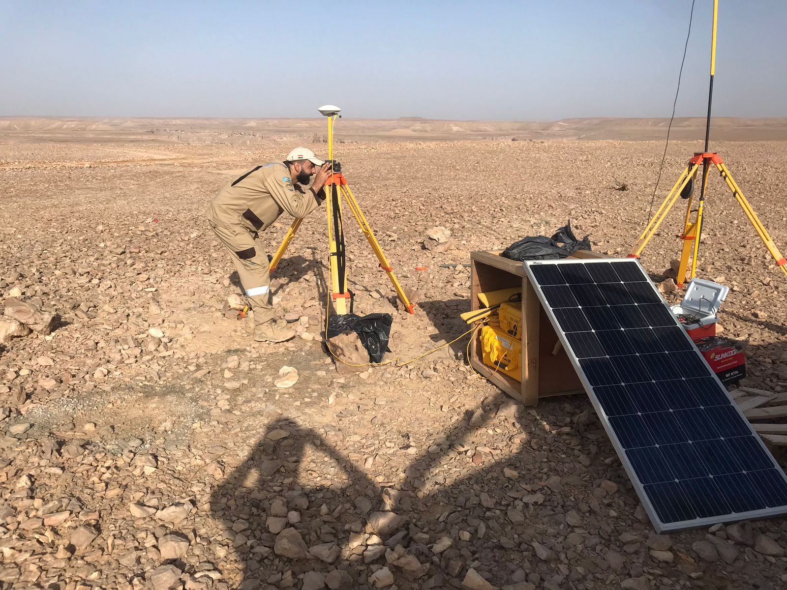
Surveying
GNSS positioning and topographical field survey support
View photos and details → INSPIRED GEOPHYSICAL SOLUTIONS
A closer look at the equipment and teams supporting our seismic field programs.
GNSS positioning and topographical field survey support
View photos and details →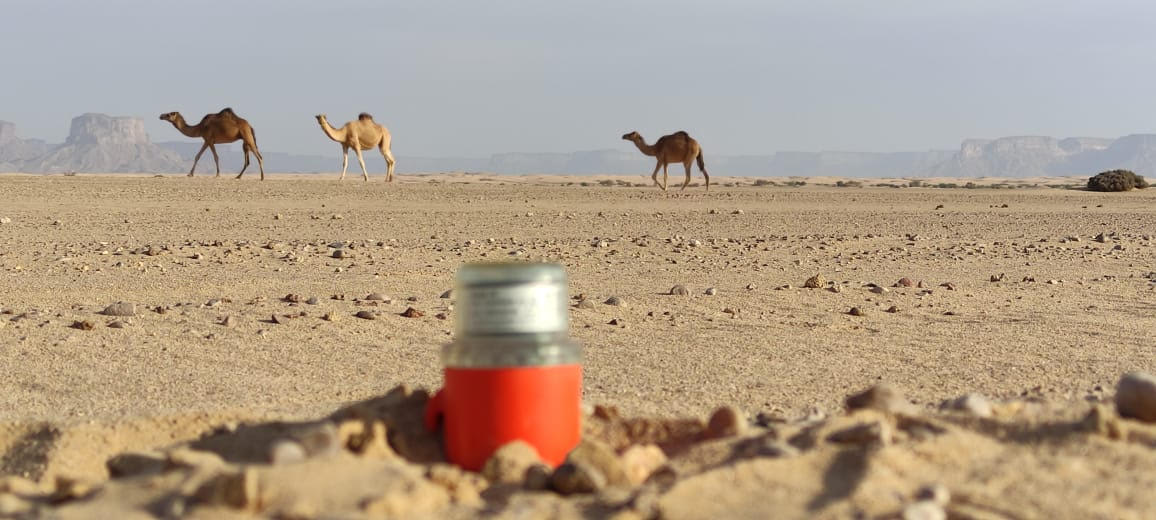
Wireless seismic acquisition systems deployed in challenging terrain
View photos and details →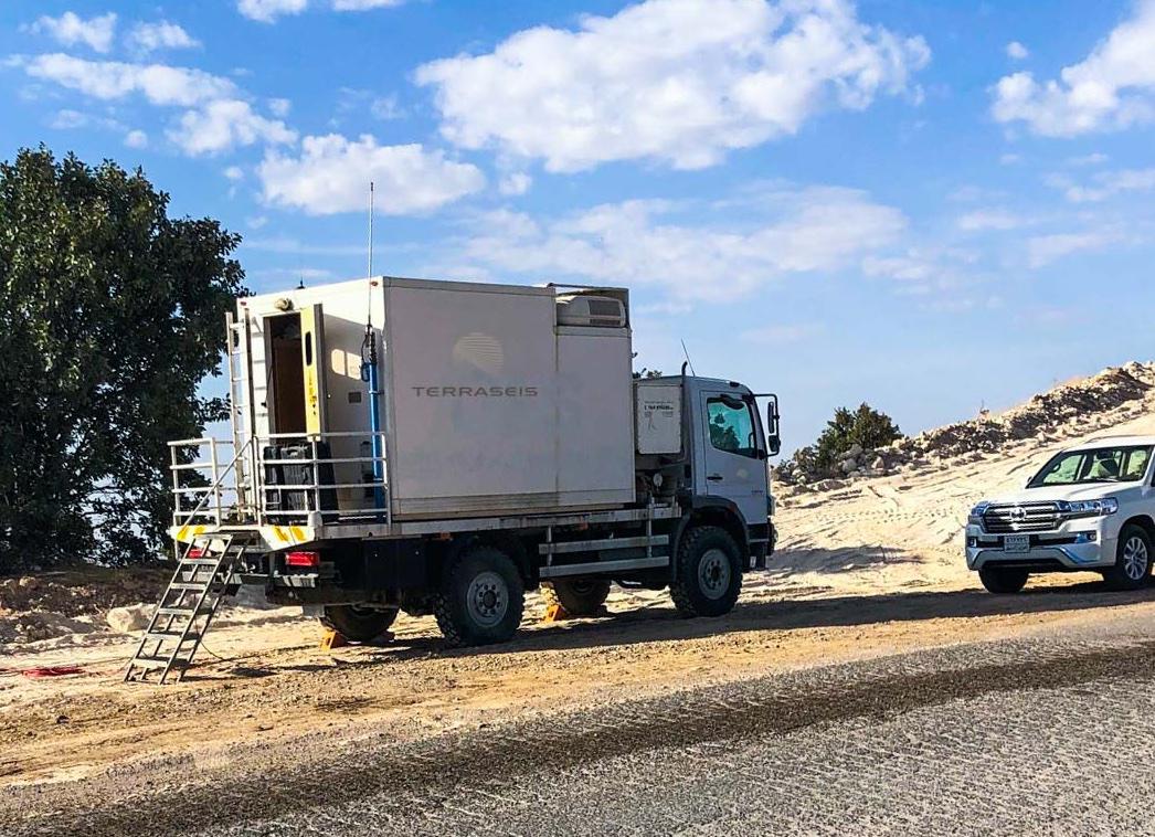
Recording systems, monitoring and seismic data workflows
View photos and details →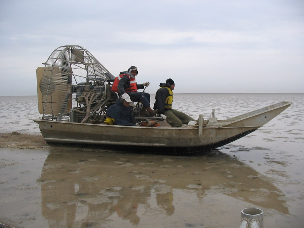
Airboats, specialized vessels and field logistics supporting shallow-water, wetland and coastal operations
View photos and details →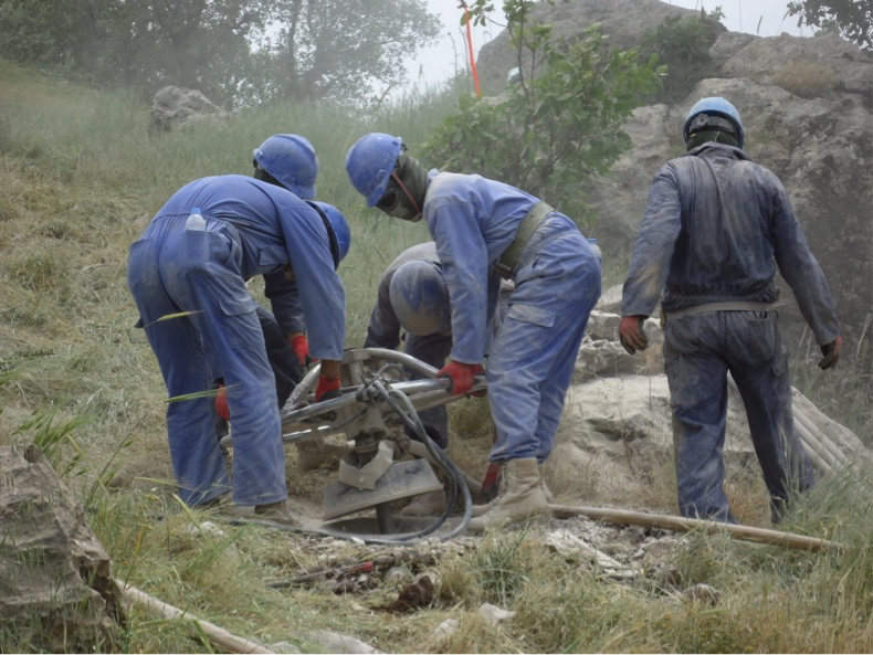
Field drilling support for seismic acquisition
View photos and details →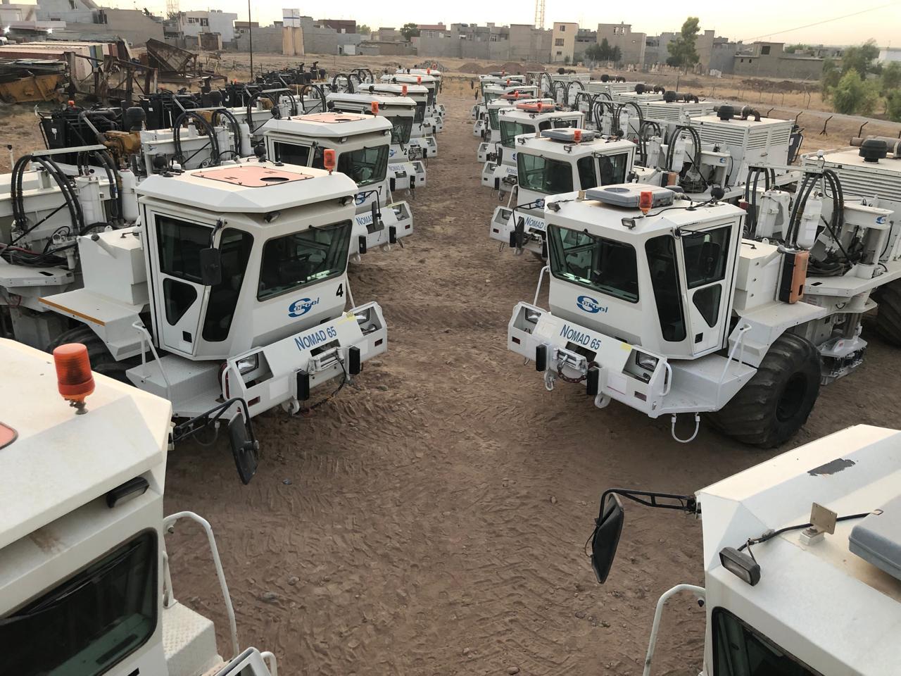
Vibroseis seismic source operations and field support
View photos and details →